
Ein paar Tage Urlaub? Oder den ganzen Winter. Schau dir jetzt unsere Auswahl an Saisonkarten an und sicher dir bis 31.10. 20% Rabatt
Aktive Erholung am Berg
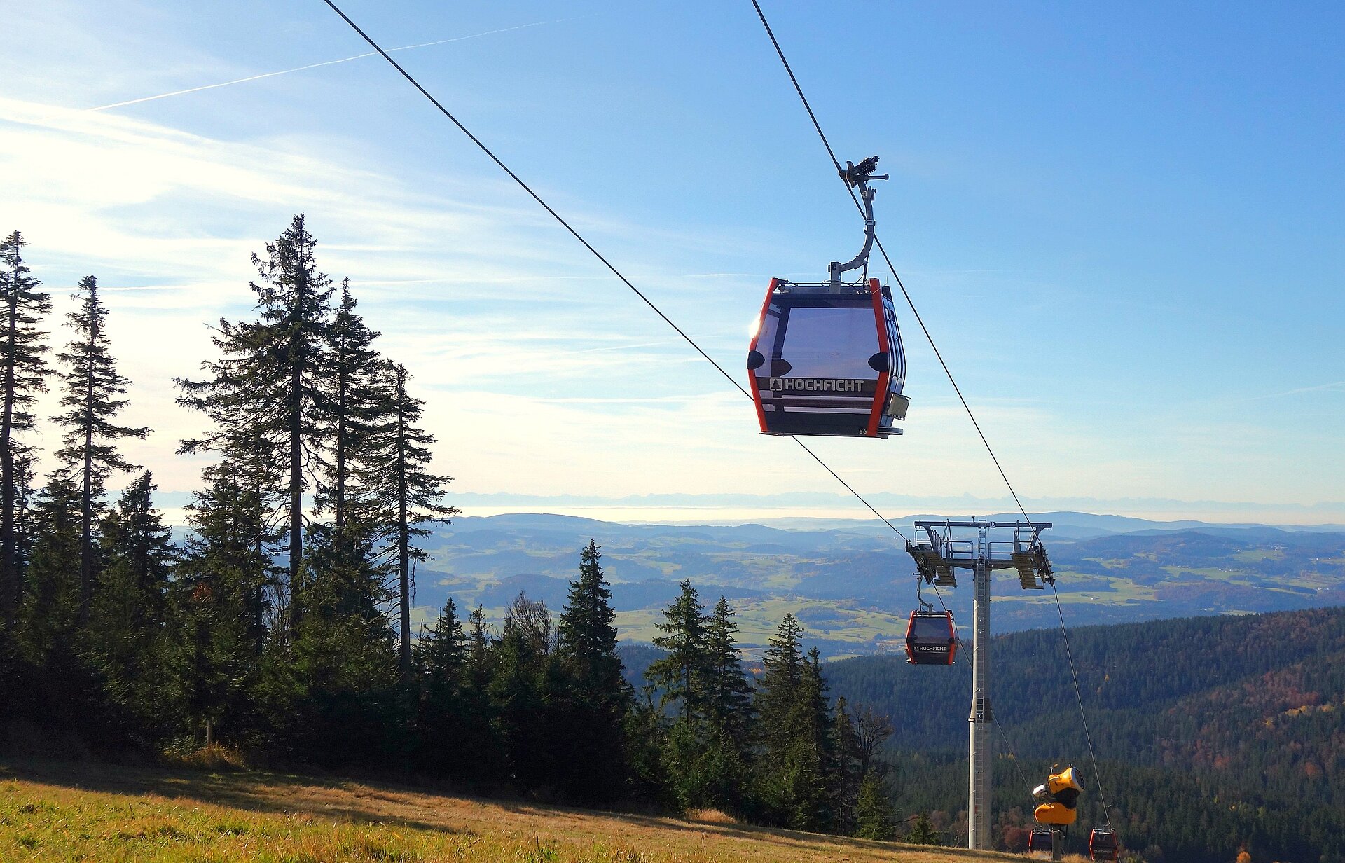
Ski- & Wandergebiet im Böhmerwald

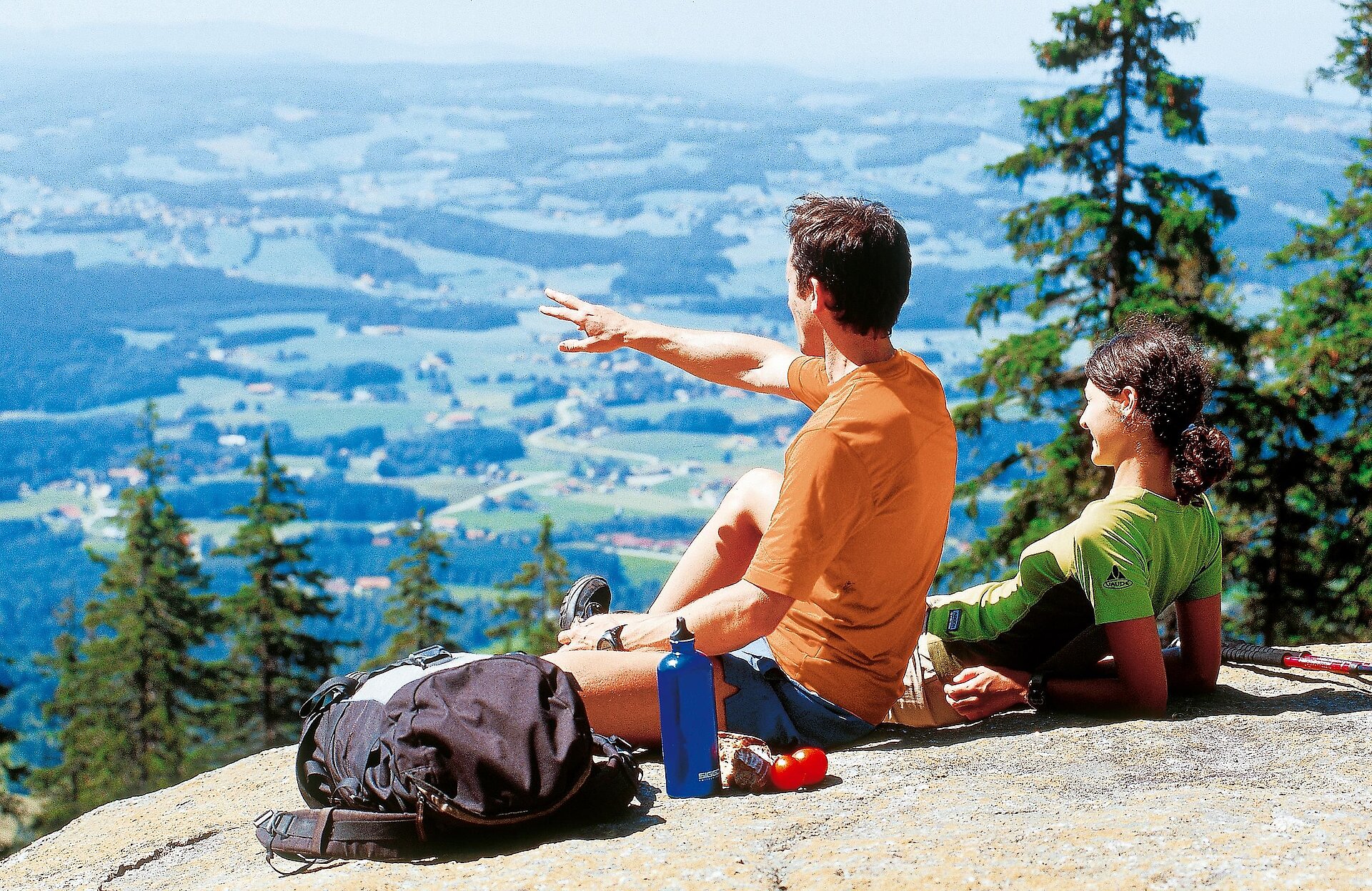
Wer Bergsommer in der Ferienregion Böhmerwald in vollen Zügen genießen möchte, ist am und rund um den Hochficht gut aufgehoben. Denn dort steht nicht nur im Winter, sondern auch in der warmen Jahreszeit aktives Naturerlebnis auf dem Programm. Ob beim Wandern oder Mountainbiken: Es gibt mindestens fünf gute Gründe, die für den Sommer am Hochficht sprechen!
Angebote


Der Pistenplan zeigt euch die schönsten Abfahrten und Skirouten am Hochficht - interaktiv und übersichtlich!
Aktuelles
News, Events & Highlights
Einzigartig und Vielseitig
Erlebnisse am Hochficht


Lasst es euch im Mühlviertel gut gehen!
Alle Unterkünfte rund um den Hochficht
Pension, Apartment, Hotel oder Bauernhof? Zu zweit, mit der Familie oder in einer Großgruppe? Je nachdem, was ihr für euren Winterurlaub am Hochficht plant, gilt es die Unterkunft klug zu wählen. Stöbert durch die große Auswahl an Betrieben ganz in der Nähe vom Skigebiet. Ihr findet garantiert alle Hotels und Pensionen des Dreiländerecks zum besten Preis!

Schmackhaft einkehren
Hütten & Gastronomie
Von leichten und vitalen Gerichten über kräftige Hausmannskost bis hin zu süßen Verführungen aus der Mehlspeisküche - die Genussvielfalt im Mühlviertel ist groß.
.jpg")


