
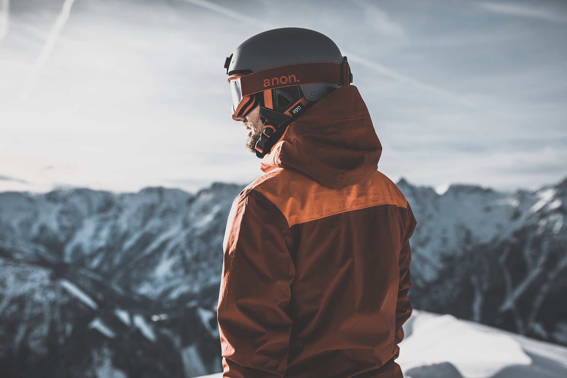
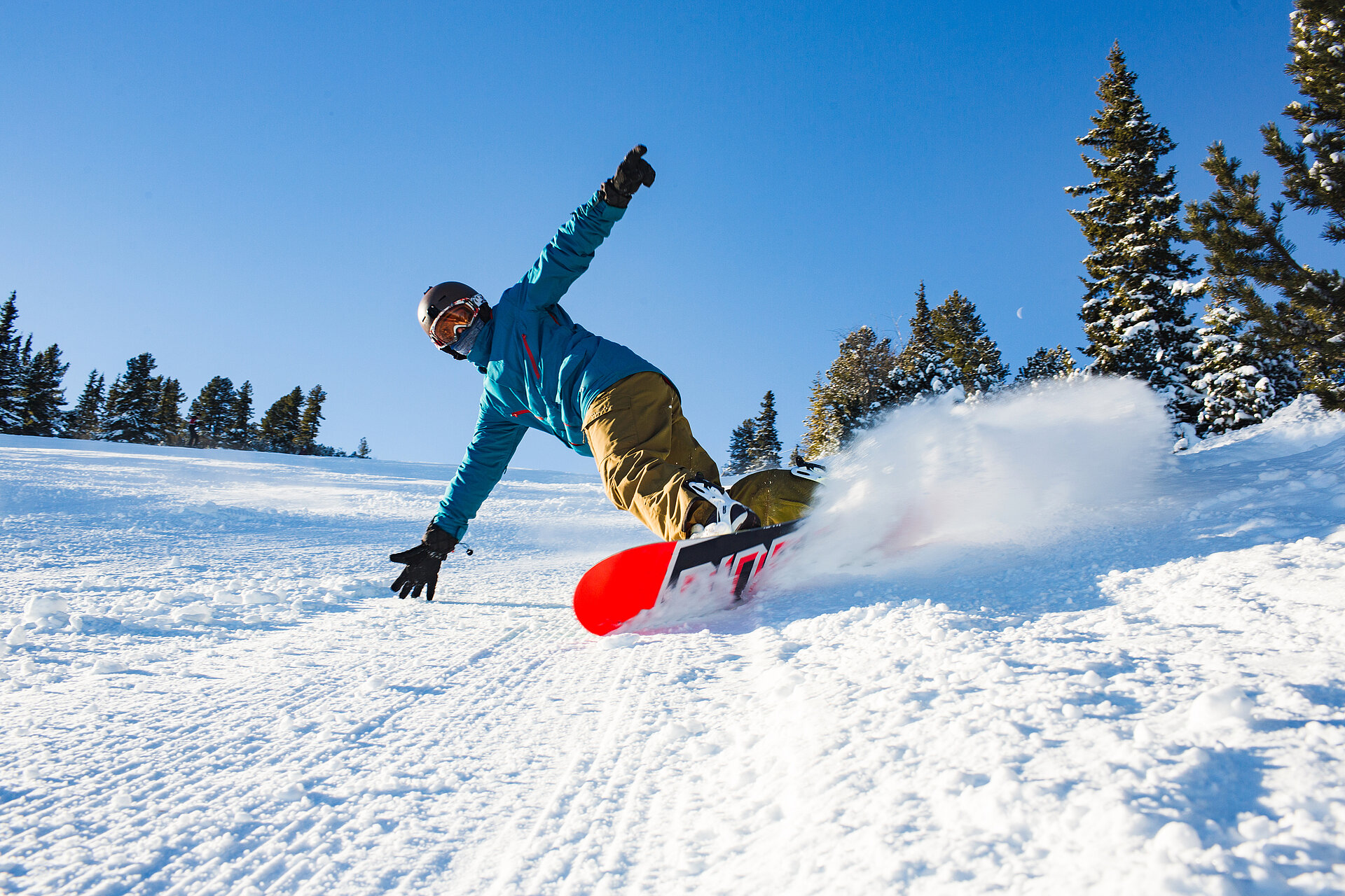
Ein Bergsommer, wie er im Buche steht
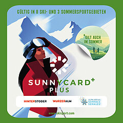
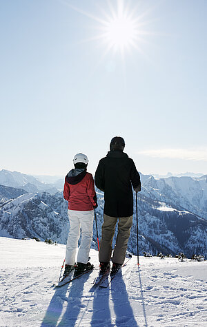
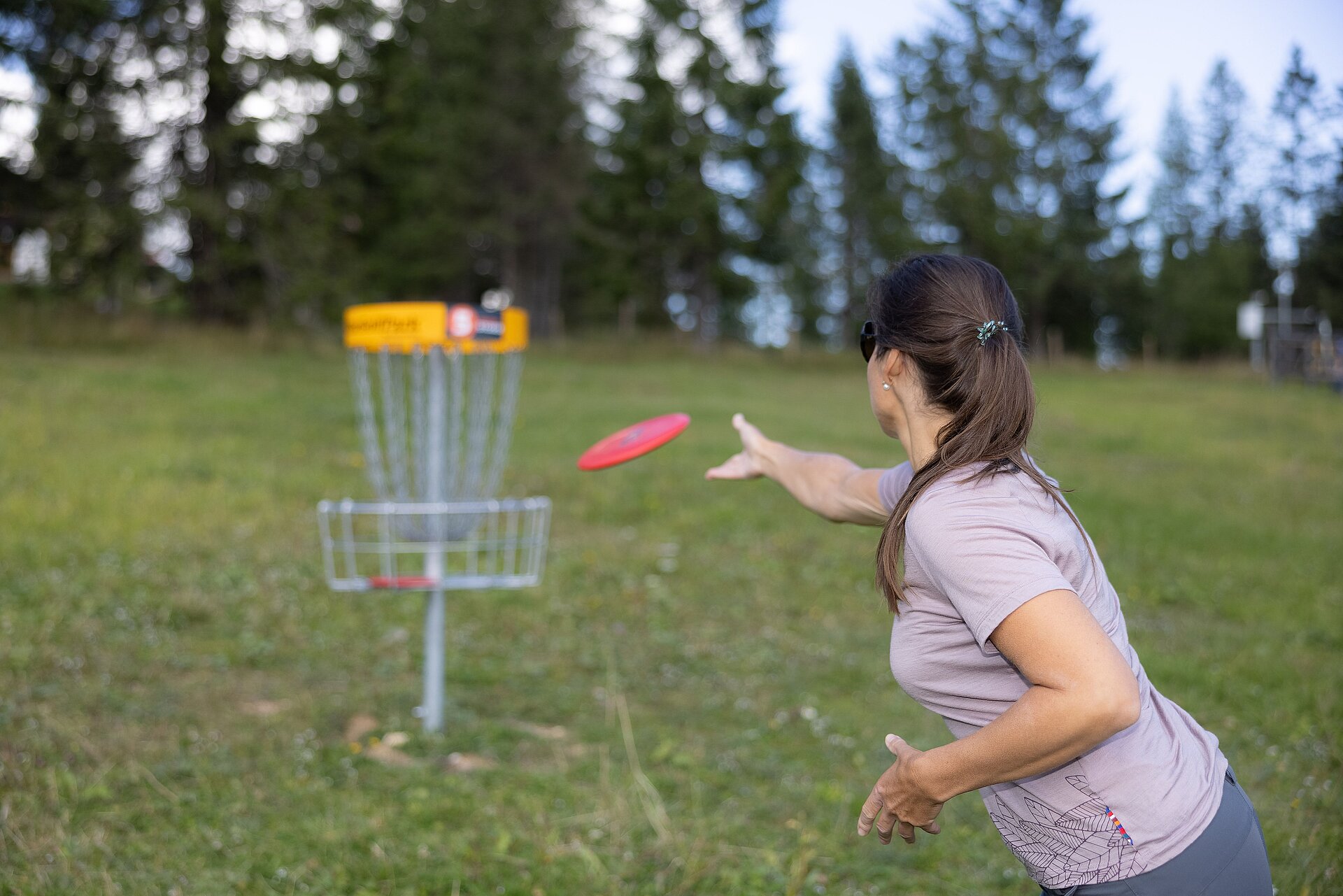
Der Sommer ist zum Wandern da – aber auch zum Mountainbiken, Klettern, Paragleiten, … Zumindest, wenn ihr ihn auf der Höss in Hinterstoder verbringt! Abwechslungsreiche Bergerlebnisse und einzigartige Natur, die nur darauf warten, entdeckt zu werden. Wenn das nicht viele gute Gründe sind, dem Süden Oberösterreichs einen Besuch abzustatten! Das Beste: Durch die Nähe zur Wurzeralm stehen im 360° Alpenland noch mehr Abwechslung und Abenteuer auf dem Urlaubsprogramm!


.jpg")
.jpg")
.jpg")
Mit einem Klick zum Urlaubsglück
Unterkünfte in Hinterstoder
Gemütliche Pensionen, exklusive Hotels, authentische Privatzimmer am Bauernhof – die Auswahl an Unterkünften in Hinterstoder ist vielfältig! So vielfältig wie die Vorstellungen eines perfekten Urlaubs. Eure perfekte Unterkunft zu unschlagbaren Preisen? Gleich durchklicken und mit der Unterkunftssuche das Wunschdomizil gezielt finden und buchen!
.jpg")
Schmackhaft einkehren
Hütten & Gastronomie
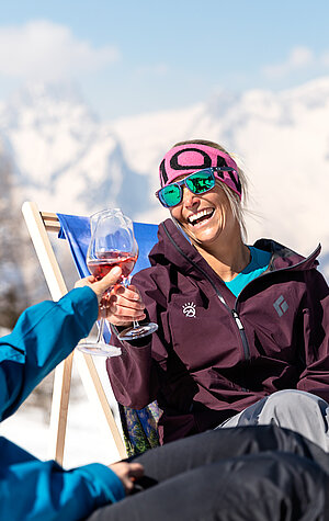
Ob deftige Kässpotzn, fluffiger Kaiserschmarrn, hausgemachte Mehlspeisen oder typische Almjause: In den Hütten am Hinterstoder wird alles mit einer Extraportion Leidenschaft serviert und von der herzlichen Gastfreundschaft begleitet.
.jpg")
News, Events & Highlights
-
Bergglühen in Hinterstoder - mehr -
Spielefest - alte Spiele neu entdecken - mehr Spielefest - alte Spiele neu entdecken
-
Schnitzeljagd auf der Wurzeralm - mehr Schnitzeljagd auf der Wurzeralm
-
Trachtenmusikkapelle Hinterstoder auf der Löger-Hütt´n - mehr Trachtenmusikkapelle Hinterstoder auf der Löger-Hütt´n
-
Trachtenverein Vorderstoder - mehr Trachtenverein Vorderstoder
-
Drei Tal Musi auf der Löger-Hütt´n - mehr Drei Tal Musi auf der Löger-Hütt´n
-
Traktorhimmelfahrt 2026 - mehr Traktorhimmelfahrt 2026
-
Bergyoga mit Steffi LI - Wurzeralm - mehr Bergyoga mit Steffi LI - Wurzeralm
-
Bergyoga mit Steffi LI - mehr Bergyoga mit Steffi LI
-
Genusswochenende - mehr Genusswochenende
-
75 Jahre Landjugend - Das Bergevent - mehr 75 Jahre Landjugend - Das Bergevent
.jpg")
.jpg")
.jpg")
.jpg")
.jpg")
.jpg")
.jpg")


